VR, Simulations & GIS Consulting
Step Inside Your Data
We turn captured reality models into immersive VR experiences, game-engine simulations, and engineering visualizations. We also consult on GIS, visualization, and geospatial problems, whether we build it for you or guide your team.
Capabilities
From Captured Site to Interactive Experience
Reality capture is the input. The output can be a VR walkthrough, an interactive planning tool, or a full physics-based simulation, whatever your project actually needs.
VR Model Creation
Captured reality models optimized and brought into virtual reality, so you can walk through a real site from anywhere.
360° Tours
Shareable 360° experiences of properties, venues, and projects that run in any browser or headset.
Game-Engine Visualization
Interactive scenes and flythroughs built in Unity and Unreal Engine from real captured environments.
Physics-Based Simulation
Engineering-style simulation apps that combine real terrain models with physics, built for analysis, planning, and communication.
Geospatial Consulting
Expert help with GIS workflows, spatial data, remote sensing, and geomatics problems, backed by a PhD in the field.
Custom Applications
Purpose-built interactive tools where your data, your terrain, and your questions meet.
- Unity
- Unreal Engine
- Meta Quest headsets
- Photogrammetry pipelines
- GIS & remote sensing
In practice
Real Places, Rendered Interactive
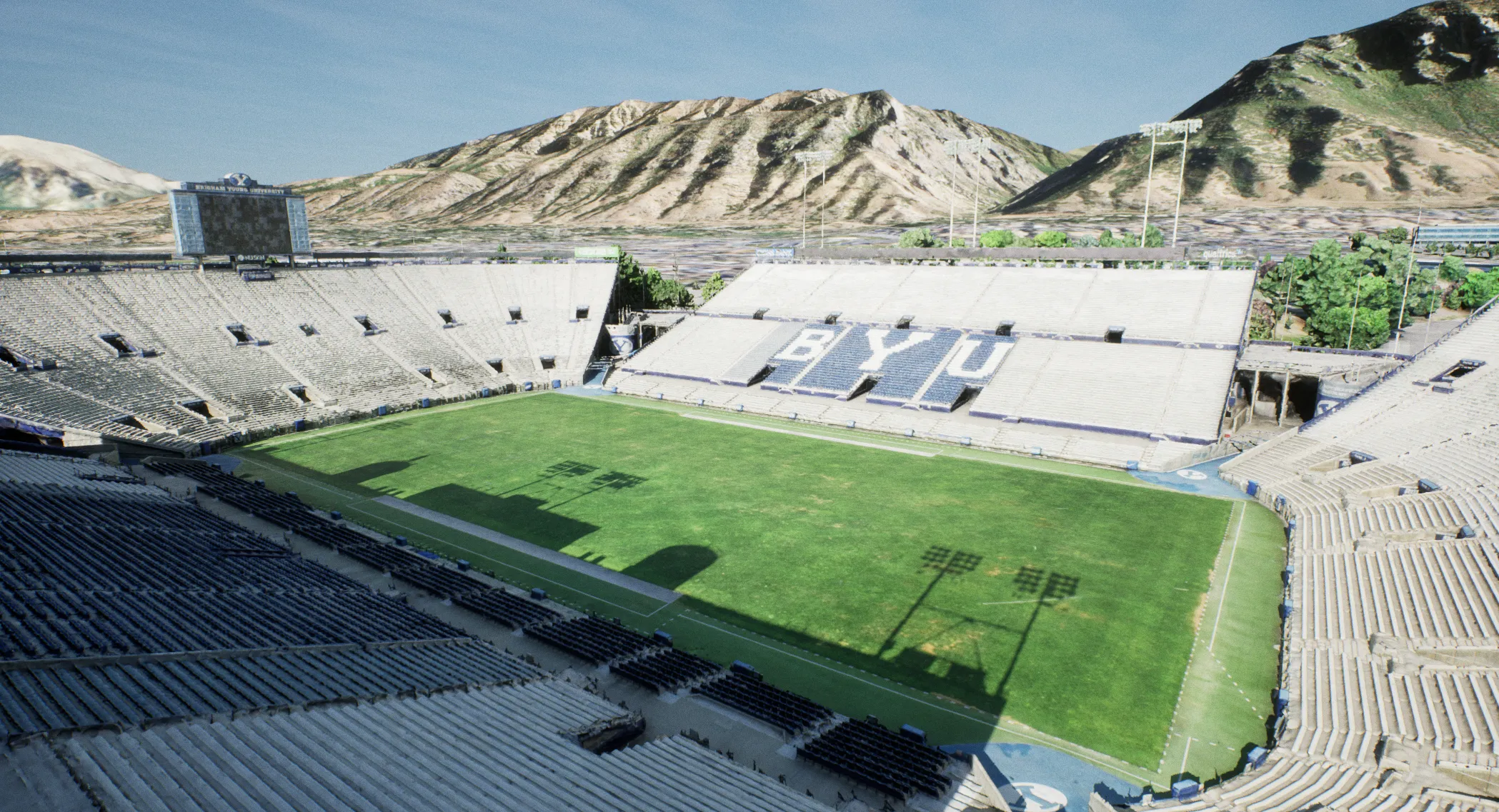
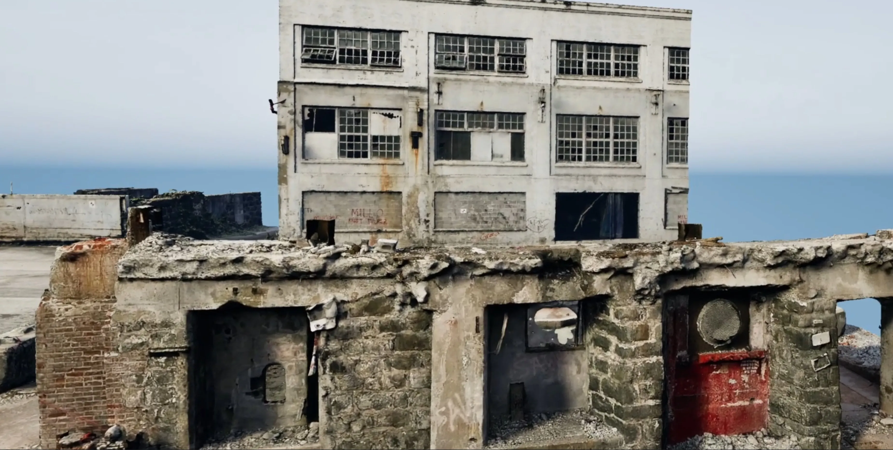
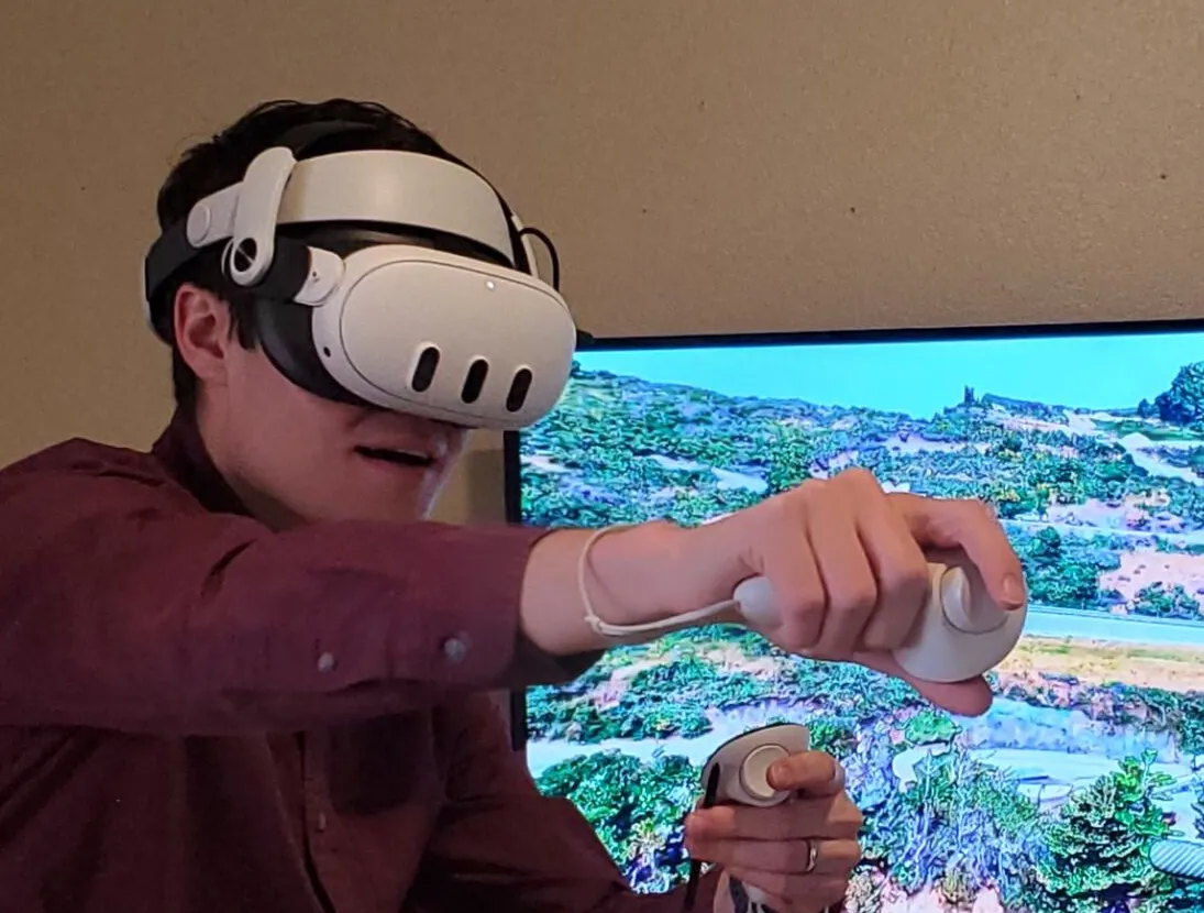
Engineering Visualization & Simulation
We build physics-based simulation and visualization apps on top of real terrain and structure models, giving engineers and stakeholders an interactive way to explore scenarios, communicate hazards, and make decisions with real geometry instead of abstractions.
Geospatial & GIS Consulting
Beyond the game engine, we consult on geospatial problems directly: GIS analysis and workflows, remote sensing, photogrammetry pipelines, and geomatics questions, grounded in doctoral-level expertise and years of applied fieldwork.
How we engage
Two Ways to Work With Us
Bring us the whole project, or just bring us your hardest questions.
Full-Service Projects
We handle it end to end: capture flights, processing, model building, VR or simulation development, and final delivery. You get a finished product and a single point of accountability.
Consulting & Advisory
Your team does the work; we bring the expertise. Doctoral-level guidance on GIS workflows, photogrammetry pipelines, visualization strategy, simulation architecture, and tool selection, scoped by the hour or by the problem.
Have Something Worth Simulating?
From VR walkthroughs to engineering simulation apps, tell us what you're trying to understand and we'll design the experience around it.
Get in touch